Ferrara Location on the map

Reaching Ferrara

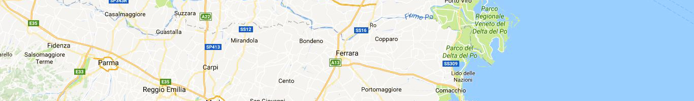
As shown in the above picture, Ferrara is located not far from the sea (Adriatic Sea). 80 Kilometer north of Ferrara is Padova and a further 30 kilometers north-east is Venice. 50 kilometers south is Bologna and 100 kilometers further south is Florence. Like to say that if you are visiting this part of Italy and you are planning to see some of the most renomated touristic destination of the Country, you have the chance to easily add to your journey a less know but equally beautiful City.


by-plane
By Airplane

The closest international Airport is Bologna Airport (Marconi) at 50 km. From Bologna Airport it is possible to reach Ferrara in several different ways. Please check HERE which is best for your suit.

A bit farer, but still close to Ferrara are the International Airports of Venice (Marco Polo) – 120 Kilometers and Verona Airport (Verona Caselle) – 115 Kilometers


by-train

By Train
Stop in Ferrara. Please refer to the Italian Railway website to check timetable, prices and to get tickets. By train you can reach Ferrara from Bologna in 20 minutes and from Venice in one hour. Particurly interesting the bike rental service available in Ferrara train station.
by-car
By Car
On the Highway A13 Between Padova and Bologna you can exit in Ferrara Nord (North) or Ferrara Sud (South). Additional info concernin the Italian Highways and relevant pay tolls, please refer to Società Autostrade website.
The advantage of visiting Ferrara by car is the possibility to easily move from the city area to the surrounding, where almost all over the Year, the villages arrange Festivals and events.
Moreover, even if the City Center is strictly pedestrian and access to cars and motorcycles is not allowed, it is quite simple to find places where it is possible to park the car and proceed to the City Center with rental bikes or public transport.